

Check the water behind the house — not just the listing remarks.
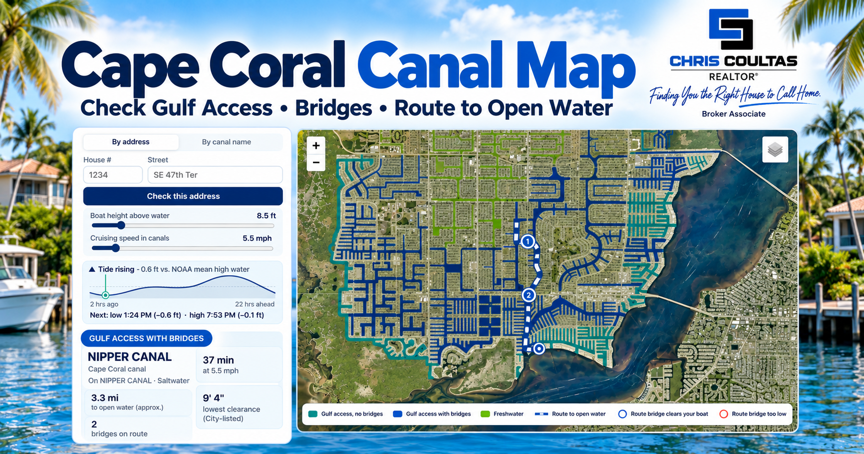
My Cape Coral Water Map lets you look up an address and explore the canal system, route toward open water and bridge considerations from the property.
Open the Cape Coral Water Map →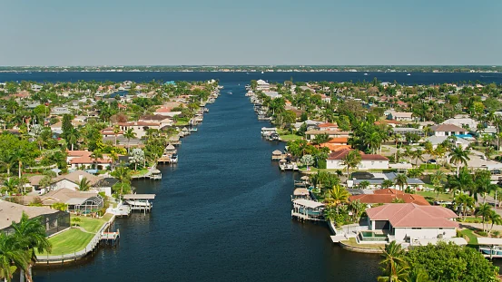
Freshwater vs. Gulf access: the simple version
Freshwater canals are inland canal and lake systems. They can be terrific for water views, fishing, kayaking, paddleboarding and small recreational boats, but they do not provide a boating route to the Caloosahatchee River or Gulf.
Gulf-access canals connect into navigable waterways that eventually lead toward the river and Gulf. That does not mean every Gulf-access home offers the same boating experience.
If you are buying the house because of your boat, we shop for the boat and the house together. I want the boat’s length, beam, draft, maximum height/air draft and approximate loaded weight if a lift matters. Kitchens can be remodeled. The canal behind the house isn’t moving.
Freshwater waterfront is not “bad” waterfront
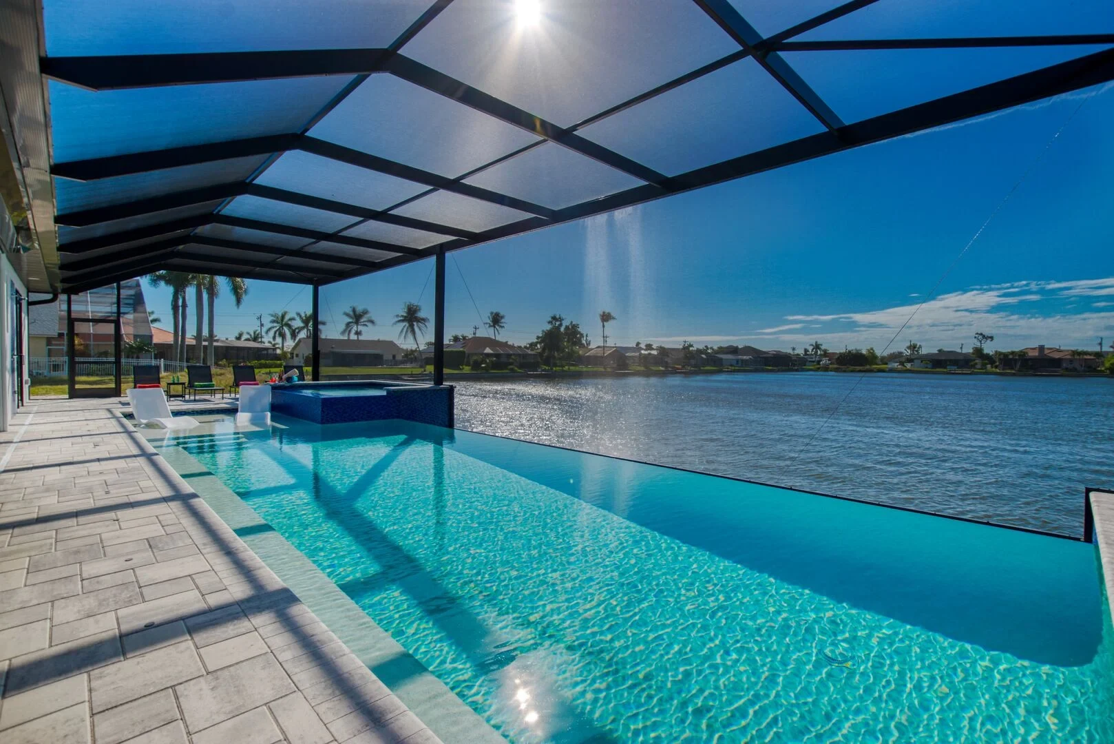
I sometimes see buyers dismiss freshwater homes because they hear “no Gulf access.” That misses the point. If your goal is a peaceful water view, backyard fishing, kayaking or paddleboarding, freshwater can give you the waterfront lifestyle without paying specifically for Gulf boating access you may never use.
Not all Gulf access is equal
Two listings can both say “Gulf access” and function very differently. One may have a short route with no fixed bridges. Another may require a long idle-speed run and pass under a bridge that does not work for your boat. Canal width, turns, basin/intersecting-canal views, water depth and the location of the property within the canal system all matter.
What does “sailboat access” or “no-bridge access” mean?
In Cape Coral listing language, no-bridge or sailboat access generally means there is no fixed bridge between the property and open water on the normal route. That is particularly important for fixed-mast sailboats, taller center consoles with towers, flybridge boats, and boats with hardtops, T-tops, radar arrays or antennas.
But I still verify the route. “Sailboat access” does not magically answer water depth, tides, dock configuration, lift capacity or every navigation question. Listing terminology can also be sloppy.
Bridge-restricted Gulf access
If there is a fixed bridge on the route, the controlling question is whether your boat fits underneath it under the conditions in which you plan to operate. I care about the lowest bridge on the route and the boat’s real maximum height — not just the hull length printed in the listing.
If clearance is close, verify it. Do not build a six-figure purchase around an optimistic guess.
How long does it really take to reach open water?
Five miles by boat is not five minutes. Canal geometry, turns, posted idle/no-wake or slow-speed zones, traffic and the actual route can make two homes that look close on a map feel completely different on Saturday morning.
Florida’s FWC says a vessel in an Idle Speed – No Wake zone must operate at the minimum speed necessary to maintain headway and steerageway. In a Slow Speed, Minimum Wake zone, the vessel must be fully off plane and settled in the water without creating an excessive wake.
See the route and bridge context on the interactive Water Map →Lightning does not automatically erase a posted speed restriction. Florida law says boating-restricted-area restrictions do not apply “in the case of an emergency,” but that is an emergency exception — not a blanket thunderstorm pass. A genuine weather emergency can make that provision relevant, while the operator is still responsible for operating reasonably and prudently for the conditions.
The seawall deserves attention before the kitchen
A beautiful remodeled kitchen is easy to photograph. A waterfront retaining structure is less exciting — until it becomes expensive. I look for visible cracking or displacement, leaning/bowing, deterioration around the cap, erosion or voids behind the wall, depressions/sinkholes in the yard, movement near the dock and signs of previous repairs.
A general home inspector may flag concerns, but if something looks questionable, get the appropriate waterfront/seawall professional involved. Cape Coral also has permitting requirements for seawall work, and some locations can involve additional state approvals.
I would get more than one opinion and quote, especially on a major repair or replacement. Three Cape Coral/Southwest Florida companies to investigate are Seawall Savers of SWFL ↗, Coastal Marine Group ↗, and WB Williamson Bros. Marine Construction ↗. This is a starting list, not a ranking or guarantee — verify licensing, scope, warranty and current availability for your project.
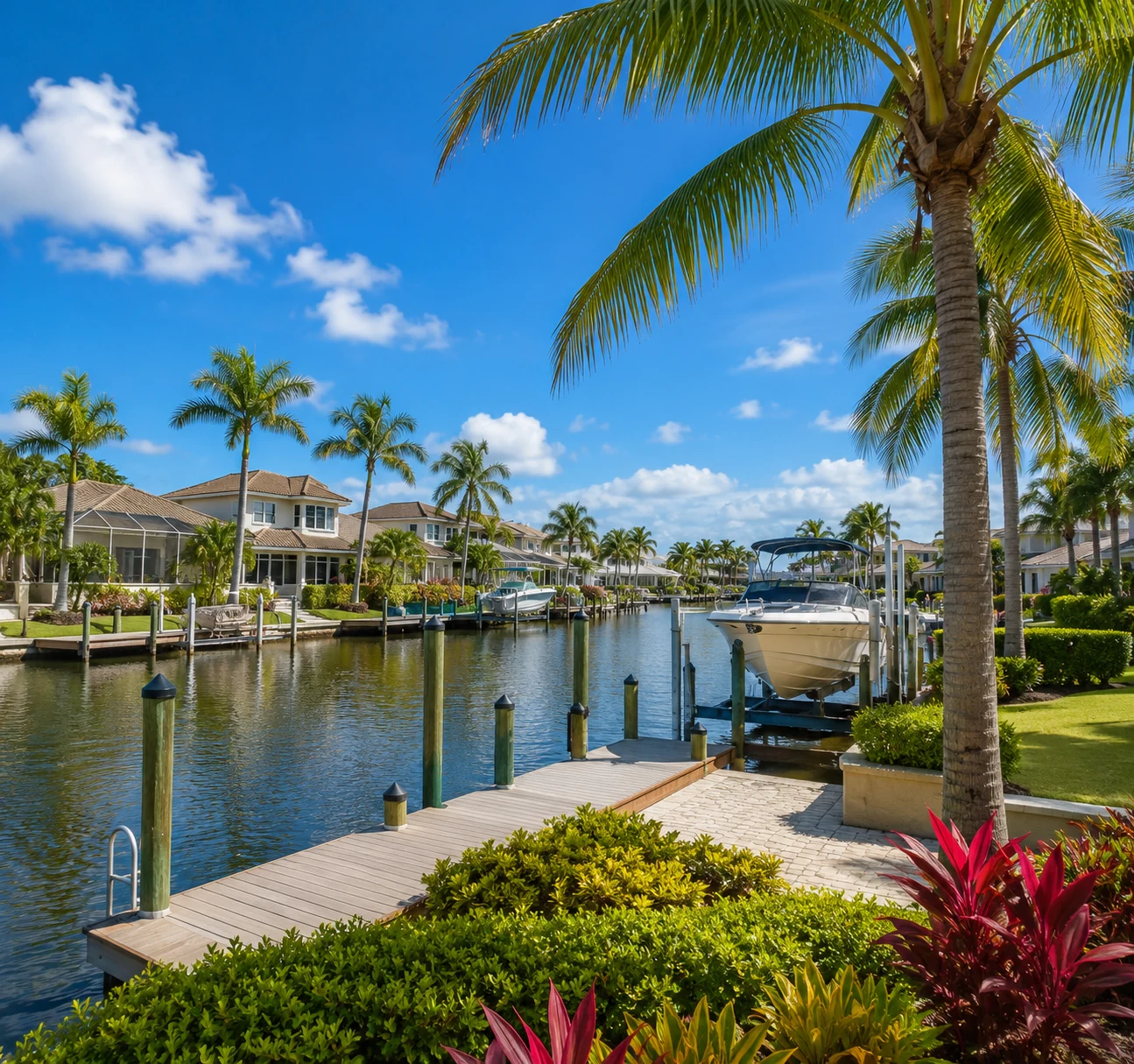
Dock and lift: “included” does not mean “fits my boat”
For the lift I want to know capacity, cradle width, beam fit, piling spacing and the boat’s loaded weight. For the dock I care about condition, configuration, utilities and whether changes would require permitting. Water depth and draft matter too. A perfectly good lift can still be the wrong lift for your boat.
Flood zones: AE, VE and X in plain English
AE is a Special Flood Hazard Area with a 1% annual-chance flood risk and an established base flood elevation. VE is a higher-hazard coastal area that also accounts for wave action. X generally represents lower mapped flood risk; shaded X can represent the 0.2% annual-chance flood area. Being in X does not mean a property cannot flood.
Also, flood zone and evacuation zone are not the same thing. One is primarily about mapped flood risk; the other is used for emergency evacuation planning. Buyers mix those up constantly.
Price the insurance before you fall in love.
Flood zone is only part of the insurance picture. Roof age, opening protection, elevation, construction details and the individual property can all matter. Chris Goss with FLB Insurance Agency is one of the local insurance resources I trust for homeowners, flood, condo and other Florida property-coverage questions.
Talk With FLB Insurance ↗You are always free to use any insurance professional you choose. I do not receive compensation or a referral fee for recommending providers on my Local Partners page.
What makes one Cape Coral waterfront home worth more than another?
Waterfront value is rarely one checkbox. Canal type, boating time, bridge restrictions, no-bridge/sailboat access, canal width, basin or intersecting-canal views, seawall condition, dock/lift setup, flood zone, elevation, lot orientation, house condition and the most relevant comparable sales can all influence the number.
That is also why an automated home-value tool can struggle with waterfront property. Two houses a few streets apart can have very different boating utility.
My waterfront due-diligence order
I start with what you want to do on the water, then the boat, then the route, bridges and travel time. After that we look at seawall, dock/lift, flood/insurance and the house itself. That order prevents us from wasting time touring a beautiful home that was never going to work for your boat.
Research the canal before we write the offer.
Look up the address on my Cape Coral Water Map and see the canal system and route context for yourself. Then send me the property and the boat details and we can dig into the pieces that need verification.
Use the Cape Coral Water Map →Waterfront buyer FAQ
Does Gulf access mean there are no bridges?
No. Many Gulf-access routes include fixed bridges. If boat height matters, look specifically at no-bridge/sailboat access and verify the actual route.
What does sailboat access mean in Cape Coral?
It generally describes a route to open water without a fixed bridge, making it more suitable for fixed-mast sailboats and taller powerboats. Depth, tides and other restrictions still need verification.
How long does it take to boat to the Gulf from Cape Coral?
There is no single answer. The property’s location, route, posted speed zones and destination all matter. A short straight-line distance can still mean a much longer real boating trip.
Can I go faster in a slow-speed zone because lightning is coming?
Not automatically. Florida law provides an emergency exception to boating-restricted-area restrictions, but lightning nearby is not a blanket exemption. The operator remains responsible for reasonable and prudent operation.
Does an X flood zone mean I do not need flood insurance?
X generally represents lower mapped flood risk, but it does not mean zero flood risk. Insurance requirements and recommendations depend on the property, loan and coverage situation, so price the actual property rather than relying on the zone label alone.
Updated October 1, 2026. Waterfront conditions, bridge information, flood maps, regulations and property improvements can change. This guide is for practical buyer education; verify property-specific boating, permitting, flood and insurance information with the appropriate agency or professional.